

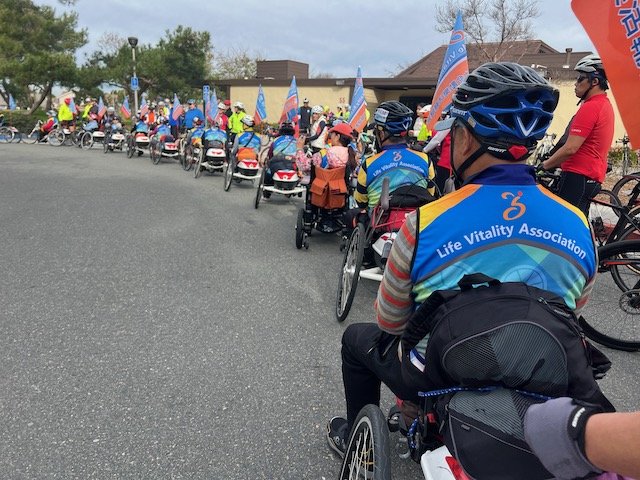
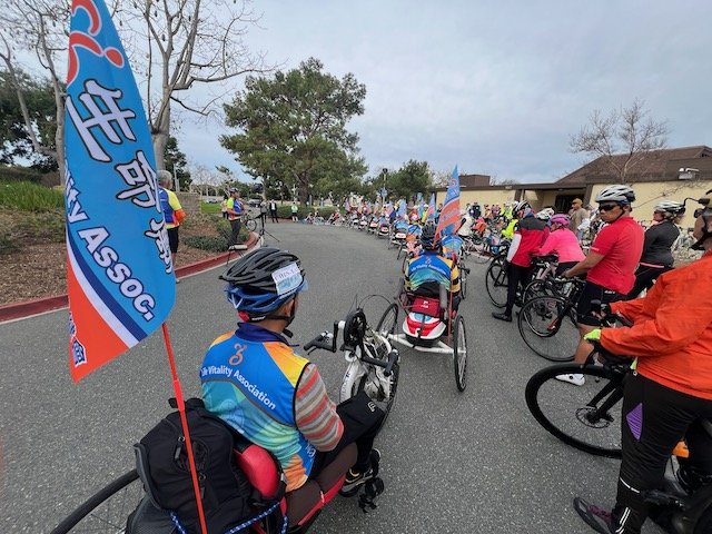
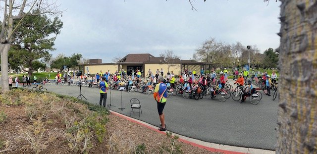
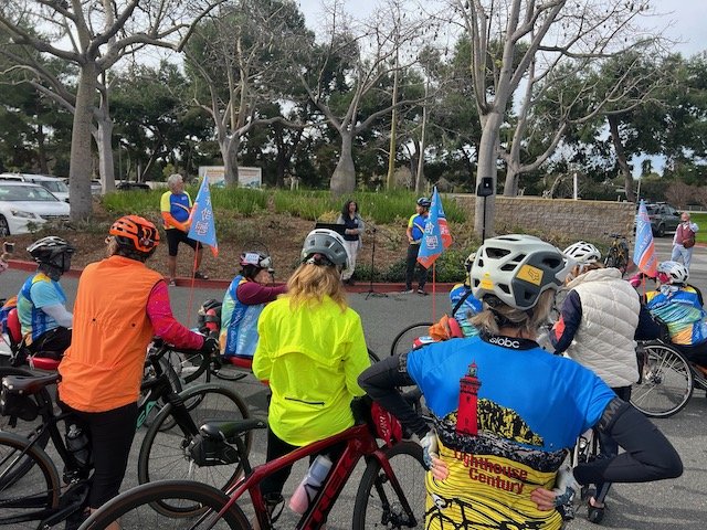
We have 20 special guests visiting from Taiwan; Below are the rides they have planned to take and anyone from BCI is welcome to tag along and help lead them on their adventure!
Jerry Chen has been coordinating the visit and Bill Sellin has been helping with routes.
We even have a glossary to explain the codes on the cue slips and ridewithgps routing to back-up the cue slips.
There are several videos on line showing what these dedicated athletes are all about!

Note: These Route slips are in kilometers
Day 1 - Feb 22 - Arriving at LAX - 14 hours from Taipei
Day 2 - Fr Feb 23 - 9am
CUES: Ride #1() - 19.5 mile Orientation Ride
ridewithgps.com/routes/45301024
Day 3 - Sa Feb 24 - 7:30am to meet BCI @ DCP at 8:30am
CUES: Ride #2() - 29.2 mile “Joining BCI Ride”
ridewithgps.com/routes/45300670
Map A: To DCP Riders and Drivers
Map B: To Coffee Riders and Drivers
Map C: To Lunch Riders and Drivers
Map D: To Hotel Riders and Drivers
Day 4 - Su Feb 25 - 9am
CUES: Ride #3 - 38.3 miles
ridewithgps.com/routes/45628132
Map 3: Bike Ride for the Riders
Map 4: Truck / Sag Stops for the Drivers
Day 5 - Mo Feb 26
Travel day to Palm Springs - Tram to play in Snow!
Day 6 - Tu Feb 27
CUES: Ride #5 - 14.1 miles - Palm Springs
ridewithgps.com/routes/45643783
Map 5: Bike Ride for the Riders
Day 7 - We Feb 28
CUES: Ride #6 - 31 miles - Palm Springs
ridewithgps.com/routes/45611454
Map 6: Bike Ride for the Riders
Day 8 - Th Feb 29
Travel Day to San Diego
Day 9 - Fr Mar 1
CUES: Ride #7 - Mission Bay to Oceanside
ridewithgps.com/routes/45610998
Map A: 0 to 7 km - San Diego
Map B: 7 to 15 km - Mission Bay to Rose Creek
Map C: 15 to 26 km - Rose Creek to UCSD (Shōwa Ramen)
Map D: 25 to 28 km - UCSD (Shōwa Ramen) to Torry Pines
Map E: 25 to 64 km - UCSD (Shōwa Ramen) to Encinitas
Map F: 45 to 60 km - Encinitas to Carlsbad
Map G: 60 to 61 km - Carlsbad Blvd @ traffic circle
Map H: 61 to 65 km - South Oceanside
Map I: 65 to 67.5 km - Oceanside to Days Inn hotel
Day 10 - Sa Mar 2
CUES Ride #8 - Oceanside to Newport Beach
(RAIN IN SAN ONOFRE AND ONLY MADE IT TO DANA POINT)
ridewithgps.com/routes/45611120
Map A: 0 to .9 km - Oceanside onto Freeway
Detail: Days Inn to Freeway Entrance (Map)
Detail: Harbor to Freeway Entrance (Arial)
Map B: 0 to 13 km - Oceanside to Las Pulgas
Map C: 13 to 16 km - Las Pulgas to Tank Road
Map D: 16 to 28 km - Tank Road to San Clemente
Map E: 28 to 31 km - Basilone to Carl’s Jr (Break)
Map F: 30 to 37 km - San Clemente Bike Route
Map G: 36 to 37 km - San Clemente Bike Route to cycle track
Map H: 41 to 43 km - Cycle track to San Juan Creek
Skipped:
Map I: 46 to 51 km - San Juan Creek to Trabuco Creek (Old SJC)
Map J: 47 to 51 km - San Juan Capistrano (LUNCH)
Map K: 56 to 59 km - San Juan Capistrano to Metrolink Station
Map L: 58 to 59 km - Camino Capistrano to Cabot
Map M: 58 to 67 km - Cabot Bike Path to El Toro (Farmer Boys / Raising Cane’s)
Map N: 64 to 65 km - Paseo de Valencia to Ave de la Carlota
Map O: 67 to 72 km - El Toro to San Diego Creek Trail
Map P: 72 km - Lake Forest to Bake Side-Path to San Diego Creek
Map P’: 72 km (Arial) - Lake Forest to Bake Side-Path to San Diego Creek
Map Q: 75 to 78 km - San Diego Creek / Sand Canyon Side-Path / Freeway Trail
Map R: 76 to 87.6 km - San Diego Creek Trail to Extended Stay America hotel
Day 11 - Su Mar 3 THEY MISSED THE BOAT BY 5 MINUTES!
CUES: Ride #9 - To Catalina Island (to and from ferry doc) TBA
ridewithgps.com/routes/45522392 to Catalina Holiday
ridewithgps.com/routes/45522438 back to OC Hotel
Map 9B: 0 to 6 km - From the boat to Hoag Hospital
Day 12 - Mo Mar 4
9:00 BCI Ride Start from the Duck Club (Bill did it)
Ride to OC Hotel before 10am: 5 miles, +137 ft CF 2
Map/Profile https://ridewithgps.com/routes/45497983
Map 10B
10:00 Ride Start from OC Hotel
Ride to Balboa Island on the way to the San Joaquin Marsh; 15.4 miles +393 ft CF2
Map/Profile https://ridewithgps.com/routes/45498988
LVA Map 10A
#10 Santiago to Castaways to PCH to Newport Dunes
#10 Newport Dunes to Back Bay Drive
4:30 - 6:00 7:30 Farewell Dinner Reception at the Duck Club
Certificate of Friendship and Alliance ~ 友誼與聯盟證書

6:00ish Ride Start from the Duck Club
LVA Return to OC Hotel: 5 miles, +137 ft CF 2
SUN SETS at 5:51 so need to use lights !
Map/Profile https://ridewithgps.com/routes/45497983
LVA Map 10B
(BCI Members shuttled everyone to their hotel so no one had to ride in the dark)
Final Day- Mar 5 - Return to Taiwan
5am pick up to LAX - 14 hour flight to Taipei…

The visit was a great success and everyone is safely back home - hoping BCI members will come visit Taiwan soon! Thanks to Jerry and Bill, and Dev, Marc, Ed, Tara, Bruce, Rich, Linda. Bill C., Bev, Shawn, Tommie and all the members who welcomed and helped them have a great visit.

Please watch this YouTube Video of highlights of their visit